THE TENDERLOIN
“I don’t love the Tenderloin,” Herb Caen once wrote, “but I dig it.” It was one of his favorite places to go walking, and it’s still one of mine. It is, without a doubt, the most real neighborhood in The City.

Mason & Eddy Streets
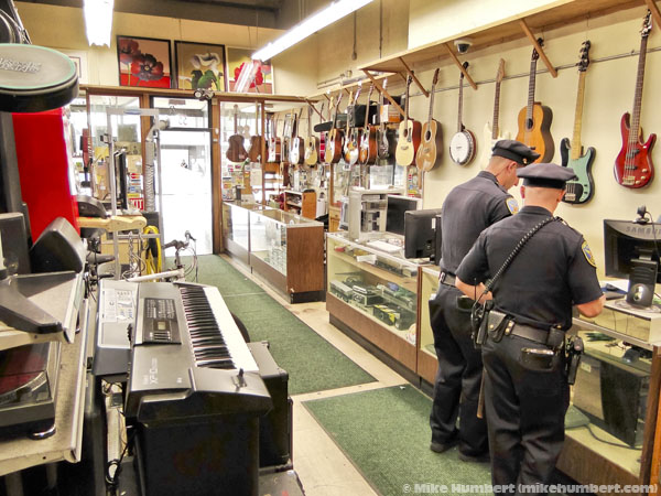
A Sixth Street pawnshop.

Larkin Street: Little Saigon
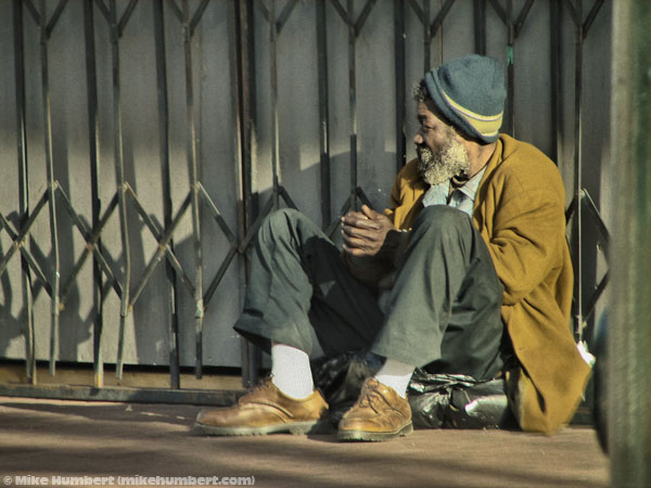
Watchin’ the world pass by.
The 100 block of Turk Street.
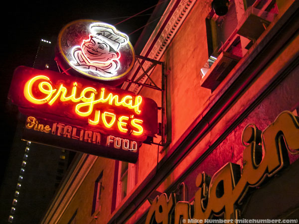
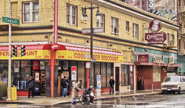
The original Original Joe’s, before it burnt. It has since relocated to North Beach.
The 1000 block of Market Street.
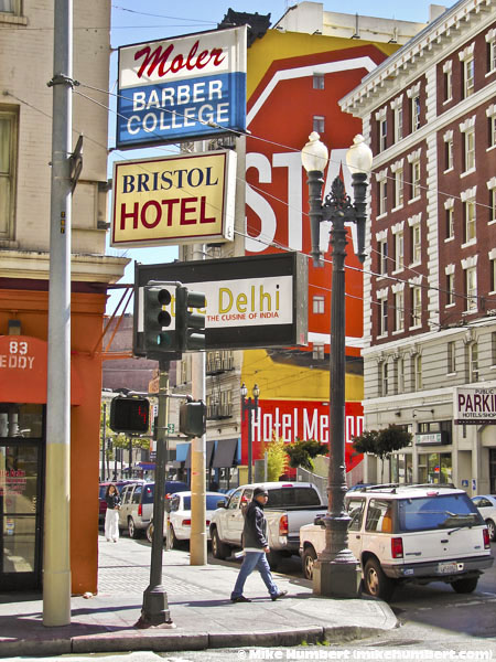
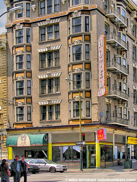
Hotels along Eddy Street, just off Leavenworth.

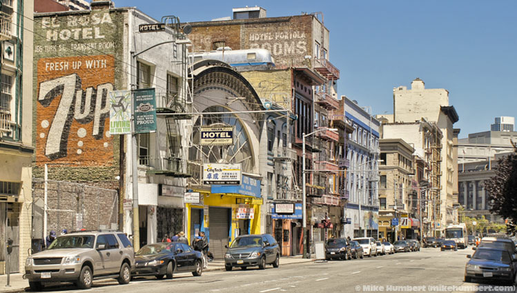
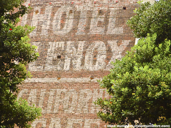
Ghost signs: remnants of another era.
It’s not polite to brag...

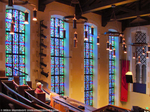
Showing up early for a good seat at a Glide Memorial service.

The legendary Ha-
Rain falling on the intersection of Taylor & Eddy
Geary & Larkin Streets.


A high-
“Defenestration” means the act of throwing something out of the window. It’s also
the name of the large-
Post & Hyde: a little too far up Nob Hill to be the Tenderloin. Some call this neighborhood the Tendernob, others call it ‘Loin Heights.
The Idiosyncratic Guide to San Francisco Homepage
Comments or questions? E-
Text and photographs (excluding those in public domain) © 2003-